Keywords: Climate, Agriculture, Spatial Planning
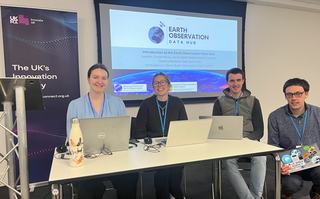
Figure 1: The Earth Observation Data Hub team at the GeoAI Build and Pitch sprint programme.
Geospatial data is a key part of the economy, with location information underpinning many services and applications. Earth observation data, enhanced with Artificial Intelligence, unlocks increased automation and improved decision making.
The GeoAI Build and Pitch programme is funded by Department for Environment, Food and Rural Affairs (Defra) and organised by Innovate UK Business Connect. The full theme is Spatial prioritisation and planning: Using Earth Observation (EO) and Artificial Intelligence (AI) to support the sustainable use of land and ocean resources for infrastructure development. The cohort were focussed on solving challenges in nature-based markets, sustainable and resilient agri-food systems, and spatial planning. Innovate UK launched the GeoAI Festival, a six-month initiative to support the rapid development of commercial solutions using geospatial AI and EO data, in October 2025.
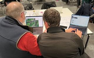
Figure 2: Sprint attendee using the Earth Observation Data Hub, assisted by the EODH team.
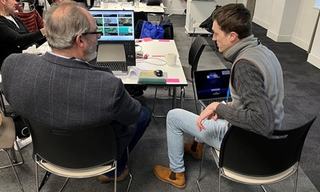
Figure 3: Sprint attendee using EODH resource catalogue, with the support of EODH staff.
Alongside partners including the Earth Observation Data Hub, Defra and Innovate UK hosted a three day in-person Build and Pitch sprint event at Cloth Hall Court, University of Leeds, in January 2026. From an initial 50 applicants, 20 were invited to attend the event. A 6-week development period followed, during which participants were challenged to combine EO data, both public and commercial, with other datasets and apply AI tools to build prototypes for commercially viable products.
EODH provided access to commercial optical and radar imagery, working with our partner Airbus, open-source optical imagery from the Earth Observation Climate Information Service and open-source climate datasets from Centre for Environmental Data Analysis (CEDA). The team produced supporting materials to guide participants through the process, from signing up for an account, to accessing open-source imagery via a comprehensive Application Programme Interface, allowing participants to interact with the hub programmatically. On the third day of the sprint event, the EODH team ran a workshop, providing real-time support to participants, ensuring they were set up and ready to utilise the hub during the 6-week development period. The team then provided tailored mentorship via drop-in sessions for prototyping discussions.
“It is a great Hub, especially for novices like me. There is a lot of information available, and I particularly like the filtering options” - GeoAI Build and Pitch sprint event participant
Out of 50 initial applicants, seven British businesses have been selected as winners, with a share of up to £560,000 in government funding to be used to develop Earth Observation and Artificial Intelligence technologies. The Earth Observation Data Hub is thrilled to continue enabling this programme and see what real-world impact the winners deliver in the next phase.